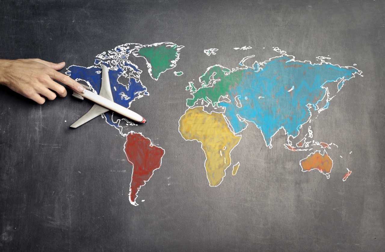
Cartography, the science and art of mapmaking, has come a long way since its inception thousands of years ago.
From ancient civilizations using rudimentary maps to navigate their surroundings, to the highly sophisticated digital mapping techniques of today, cartography has evolved significantly. In this article, we will explore the current state of cartography and how it is shaping the way we navigate and understand the world around us.
The Evolution of Cartography
Cartography can be traced back to ancient civilizations such as the ancient Egyptians and Babylonians, who carved maps onto clay tablets.
These early maps were simple representations of the surrounding areas and were primarily used for practical purposes like military planning and land ownership documentation.
As civilizations advanced, so did the techniques of mapmaking. The Greeks were among the first to develop more sophisticated maps, incorporating geometry and mathematical calculations to create accurate representations of landmasses.
The renowned geographer, Claudius Ptolemy, revolutionized cartography in the 2nd century AD with his publication of the “Geographia,” a collection of maps of the known world at the time.
The development of printing press in the 15th century marked a significant turning point in the history of cartography. With the ability to mass-produce maps, cartographers had a wider audience, and more accurate and detailed maps could be created.
This period saw the emergence of cartographic legends and scales, allowing users to interpret the information displayed on maps more effectively.
Advancements in Digital Mapping
In the modern era, digital technology has revolutionized the field of cartography. Geographic Information Systems (GIS) have become an integral part of mapping, enabling the collection, analysis, and visualization of spatial data.
GIS software allows cartographers to create layered maps with various datasets, combining information from multiple sources into a single comprehensive representation.
Satellite imagery and remote sensing have also played a significant role in advancing cartography. Satellites orbiting the Earth capture high-resolution images that can be used to create detailed and accurate maps.
Remote sensing techniques, such as LiDAR (Light Detection and Ranging), can even measure elevation data, resulting in the creation of highly precise and detailed relief maps.
One notable advancement in digital mapping is the emergence of web-based mapping platforms like Google Maps and OpenStreetMap. These platforms offer users the ability to access maps instantly and navigate through them using a variety of tools.
Furthermore, they provide real-time information about traffic, weather conditions, and points of interest, making navigation more convenient and efficient.
Applications of Cartography in Modern Society
Cartography has a wide range of applications in various fields, influencing the way we navigate and understand our surroundings. Here are a few examples of how cartography is used in modern society:.
1. Navigation and Transportation
The most common application of cartography is in navigation and transportation. Maps are used in navigation systems, both in vehicles and on smartphones, to guide users from one location to another.
They provide essential information about road networks, landmarks, and points of interest, ensuring efficient and safe travel.
Related Article
Exploring the present: a guide to mapping now

2. Urban Planning and Infrastructure Development
Cartography plays a vital role in urban planning and infrastructure development.
By mapping out existing urban areas and assessing their potential for growth, cartographers can assist in making informed decisions about new developments, transportation networks, and land use planning.
3. Environmental Management and Conservation
Maps are essential tools in environmental management and conservation efforts. Cartographers create maps that display various environmental data, such as vegetation cover, water resources, and wildlife habitats.
These maps help scientists, policymakers, and conservationists make informed decisions about resource management and conservation planning.
4. Emergency Management and Disaster Response
During times of crisis, cartography plays a crucial role in emergency management and disaster response. Mapping technologies are used to identify vulnerable areas, develop evacuation plans, and coordinate resources efficiently.
Real-time mapping and tracking systems enable responders to assess the situation on the ground and make informed decisions quickly.
5. Social and Economic Analysis
Cartography also contributes to social and economic analysis. By mapping demographic data, economic indicators, and social trends, cartographers can visualize patterns and relationships that help researchers and policymakers make informed decisions.
These maps are often used in demographic studies, market analysis, and urban sociology.
Future of Cartography
The field of cartography continues to evolve at a rapid pace, with new technologies and techniques being developed constantly. Here are a few key trends that may shape the future of cartography:.
1. 3D Visualization
Advancements in 3D visualization technologies, such as virtual reality and augmented reality, are likely to have a significant impact on cartography.
Three-dimensional maps provide users with a more immersive experience and enhance their understanding of spatial relationships.
2. Big Data Integration
As more data is generated and collected from various sources, integrating big data into cartographic representations will become more prevalent.
Cartographers will need to develop techniques to analyze and visualize large datasets effectively, providing users with valuable insights.
3. Artificial Intelligence and Machine Learning
Artificial intelligence and machine learning algorithms have the potential to revolutionize cartography. These technologies can automate the process of map creation, analyze patterns in data, and make predictions about spatial phenomena.
4. Interactive and User-Centric Maps
The future of cartography lies in creating interactive and user-centric maps. Cartographers will focus on developing intuitive interfaces and customizable mapping tools that cater to individual user needs, making maps more accessible and engaging.
Conclusion
Cartography has come a long way from its origins in ancient civilizations to the highly advanced digital mapping techniques of today. It plays an essential role in numerous fields, shaping the way we navigate, plan, and understand the world around us.
With continued technological advancements, cartography will undoubtedly continue to evolve, providing us with more accurate, immersive, and user-friendly maps.


